
UTM Measure
Contains adsIn-app purchases
50K+
Downloads

PEGI 3
info


About this app
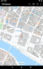
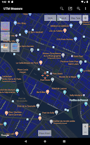
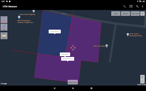
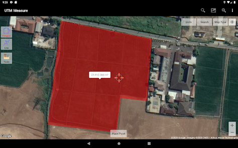
Measure area and distance, register points, lines and polygons from Satellite Imagery map data or GPS data, perform simple spatial analyzes such as overlays, buffering etc.
Equipped with sophisticated spatial drawing & editing tools such as snap nearest, cutting / dividing polygons with lines, smoothing, reducing vertices using Douglas Peucker's algorithm, editing vertices of lines / polygons, combining 2 lines / joints, turning lines into polygons, polygons into lines etc. .
Make a contour line (premium).
Store unlimited amount of data in your local database including feature name information, photos, labels / notes, etc.
Export your data to KML, DXF or CSV files.
Working with Coordinate Reference Systems around the world from Minna Datum (Nigeria) to TM-3 (Indonesia), plot your polygons on a map based on coordinate data from various local CRS using EPSG Code.
Supports WMS (Map Server).
Any suggestions are welcome, please send via email to [email protected] or write a review. thanks.
Updated on
Safety starts with understanding how developers collect and share your data. Data privacy and security practices may vary based on your use, region, and age. The developer provided this information and may update it over time.

This app may share these data types with third parties
Location, Personal info and 4 others

No data collected
Learn more about how developers declare collection

Data is encrypted in transit

Data can’t be deleted
What’s new
This update includes stability improvements and bug fixes.
App support
About the developer
Yogi Yogantara, ST
Pesona Bali Residence B.4 No.7
Bojongsoang
Bandung
Jawa Barat 40288
Indonesia
undefined


