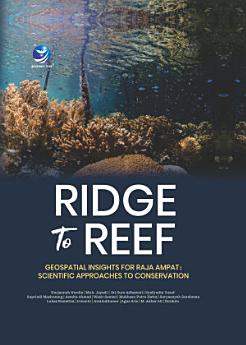
Ridge to Reef Geospatial Insights for Raja Ampat: Scientific Approaches to Conservation
Nurjannah Nurdin · Muh. Jayadi · Sri Suro Adhawati · Syafyudin Yusuf · Supriadi Mashoreng · Asmita Ahmad · Wasir Samad · Mukhsan Putra Hatta · Suryansyah Surahman · Lukas Rumetna · Irwanto · Awaludinnoer · Agus Aris · M. Akbar AS · Ibrahim
May 2025 · Penerbit Andi
4.0star
1 reviewreport
Ebook
344
Pages
reportRatings and reviews aren’t verified Learn More
About this ebook
The study on the connectivity between terrestrial and marine conservation areas in Southwest Papua provides in-depth insights into the complex biophysical interactions between these ecosystems. This research employs geospatial analysis methods and field surveys to collect real-time data on biophysical conditions, hydrology, and land use. The Soil and Water Assessment Tool (SWAT) model utilized in the study reveals significant hydrological differences between Sorong and Misool, with Sorong experiencing higher rainfall and surface runoff. These factors impact sediment and nutrient dynamics, possibly hindering coral reef growth. The study also develops a comprehensive geospatial dataset encompassing coastal ecosystem dynamics, climate patterns, and other environmental factors relevant to conservation efforts. This dataset is essential for informing more effective and sustainable conservation strategies. Furthermore, the socioeconomic analysis highlights the local community's reliance on primary sectors such as agriculture and fisheries, emphasizing the need for development policies that balance improving community welfare with environmental sustainability. Overall, the findings of this research aim to guide integrated natural resource management policies and practices, supporting environmental conservation and sustainable development in Southwest Papua. This approach underscores the importance of understanding the connectivity between terrestrial and marine conservation areas to enhance the effectiveness of conservation efforts in the region.
Ratings and reviews
4.0
1 review
Rate this ebook
Tell us what you think.
Reading information
Smartphones and tablets
Install the Google Play Books app for Android and iPad/iPhone. It syncs automatically with your account and allows you to read online or offline wherever you are.
Laptops and computers
You can listen to audiobooks purchased on Google Play using your computer's web browser.
eReaders and other devices
To read on e-ink devices like Kobo eReaders, you'll need to download a file and transfer it to your device. Follow the detailed Help Center instructions to transfer the files to supported eReaders.